Road Network Upgrades Easing Airport Transit from Central Yelahanka Neighborhoods

Featured Image of Road Network Upgrades Easing Airport Transit from Central Yelahanka Neighborhoods


The road network upgrades easing airport transit From Central Yelahanka Neighborhoods includes 4 road and rail projects that are cutting airport travel time from central Yelahanka in 2026. These include -

  • NH-44, also called Bellary Road, now moves local traffic off the main highway near Yelahanka Air Force Station. It does this through a new 320-metre underpass.
  • A 2 km flyover at Yelahanka Police Station Circle on Doddaballapur Road is over 70% done.
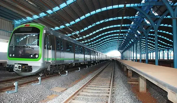
  • The Namma Metro Blue Line's Hebbal-to-Airport stretch is in advanced construction. It targets service by mid-to-late 2027.

Together, these upgrades are cutting the current 20 to 30-minute drive between Yelahanka and Kempegowda International Airport. The airport sits about 13 to 20 km away, depending on the exact neighbourhood.

NH-44 Bellary Road Corridor Gets Faster


Bellary Road remains the main link between Yelahanka and the airport. Local vehicles used to share one lane with fast airport traffic. This mix caused frequent slowdowns and accidents near the air base stretch.

Yelahanka Airbase Underpass Cuts Local-Highway Conflict

Workers are building a 320-metre underpass near Yelahanka Air Force Station. Engineers use the cut-and-cover method for this work. This places a service road six metres below ground. Local traffic between the IAF station and Hunasamaranahalli Lake will skip the highway entirely. Once done, this becomes one of Bengaluru's longest underpasses. Officials aim to finish it before Aero India 2027.


Doddaballapur Road Flyover Nears Completion

Doddaballapur Road helps people who travel every day from Yelahanka Satellite Town to the airport. A 2 km flyover connects the BWSSB junction and Seshadripuram College. This flyover is already more than 70% completed. This flyover takes away a part of the road that has a lot of traffic signals near Yelahanka Police Station Circle.

In addition, the topping work on the Hennur-Bagalur stretch is almost finished. This gives commuters a way to travel as another option.

Blue Line Metro Extension to the Airport


Road upgrades are a part of what is happening here. The Namma Metro Blue Line goes from Central Silk Board to the airport. This is changing the way people in Yelahanka get to the Airport.

Phase 2B Progress and Timeline

The second phase, which is also known as Phase 2B, is about the Hebbal-to-Airport stretch. This Phase 2B goes through Yelahanka. By the beginning of 2026, the work was really moving forward. At Yelahanka, the tracks are being laid down, and the finishing work of the stations has started.

The testing of Phase 2B will start by the beginning of 2027. All the services up and running for Phase 2B will be done by the middle or end of 2027. Once the line is fully working, it will take 12 to 15 minutes to get from Yelahanka to Manyata Tech Park by metro.

Yelahanka Transit Hub Links Metro and Rail

The area will have two stations: Yelahanka and Bagalur Cross.

  • Yelahanka and Bagalur Cross stations will be helpful for people who live in Satellite Town and Jakkur. A skywalk is being planned to connect the metro station to Yelahanka Junction railway station.
  • BMTC electric feeder buses will take people from Yelahanka and Bagalur Cross stations to their destinations.
  • This will make traveling to the airport easier because it will reduce the number of times people have to change transportation.

STRR And Bengaluru Business Corridor Support Yelahanka


Two larger regional projects add long-term depth to this connectivity. Neither project runs directly through the neighbourhood, but both ease pressure on nearby roads.

STRR Phase Status In 2026

The Satellite Town Ring Road or STRR covers a distance of 280 to 288 Kms. Building this road costs about ₹15,676 crore. The first part of the road, which's 80 km long from Dobbaspet to Hoskote, started operating in March 2024.

More parts of the STRR are planned to open by 2026-27 according to the schedule from NHAI. The STRR connects Devanahalli, Hoskote and other satellite towns. This road helps move distance and freight traffic away from Bellary Road.

Peripheral Ring Road Reboot as Bengaluru Business Corridor

The long-stalled Peripheral Ring Road now carries a new name. It is now called the Bengaluru Business Corridor. This 73 to 74 km, 8-lane expressway targets completion by 2027. A major junction is planned near Yelahanka and Bellary Road. Over 600 landowners had already agreed to acquisition terms by early 2026.

Road Upgrade Snapshot


Project Scope 2026 Status Target Completion
Yelahanka Airbase Underpass 320 m service tunnel Under construction Before Aero India 2027
Doddaballapur Road Flyover 2 km flyover at Police Station Circle Over 70% complete 2026
Blue Line Metro Phase 2B Hebbal to Airport with 17 stations Track-laying stage Mid-to-late 2027
Satellite Town Ring Road (STRR) 280–288 km corridor, ₹15,676 crore Phase 1 completed, remaining sections under progress 2026–27
Bengaluru Business Corridor 73–74 km, 8-lane expressway Land acquisition advancing 2027

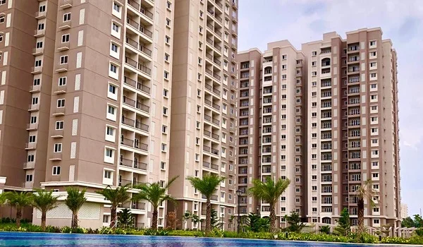
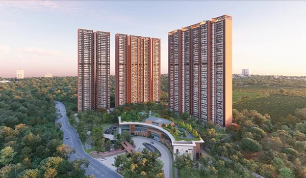
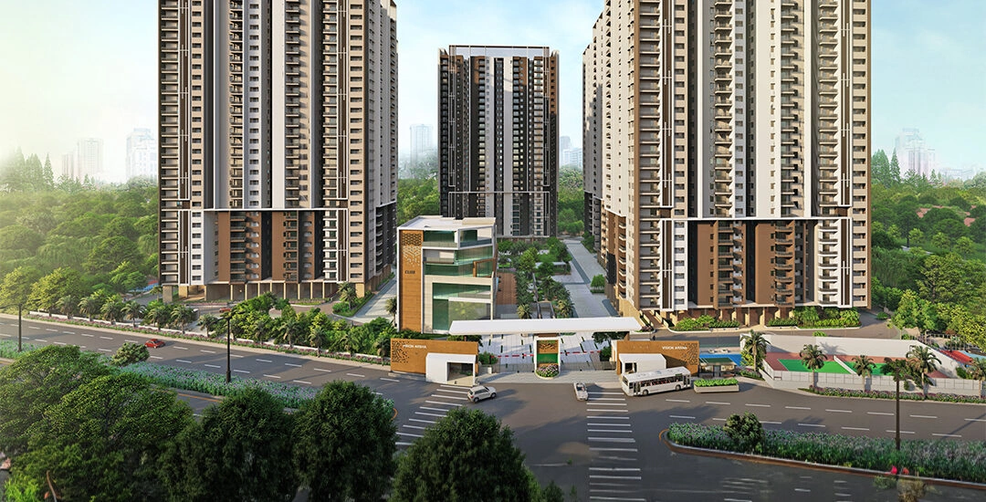
Embassy Knowledge Park Benefits from the Same Corridor


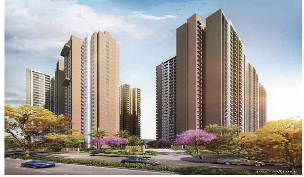
Embassy Knowledge Park sits directly on this upgrading Bellary Road stretch. It sits about 13 km from the airport via NH-44. Yelahanka Junction sits within 1 to 2 km of the project. This junction already links to the operational Suburban Rail network.

The planned Namma Metro Phase 3 alignment should add a station along this same corridor. As the underpass, flyover, and metro work move forward nearby, residents here stand to gain. They get faster, more predictable airport runs without leaving the Bellary Road belt.

FAQs


1. How much has NH-44 airport travel improved near Yelahanka?

The underpass and flyover projects remove local-traffic bottlenecks. These bottlenecks used to slow the 13-20 km airport run by 20 to 30 minutes during peak hours.

2. When will the Blue Line metro reach the airport from Yelahanka?

Phase 2B is under construction. Testing is expected in 2027, with services targeted for mid-to-late 2027.

3. What is the Yelahanka Airbase underpass built for?

It separates traffic from airport-bound highway traffic. It uses a 320-metre tunnel, six metres below NH-44, targeted for completion before Aero India 2027.

4. Does the STRR help Yelahanka's airport connectivity directly?

STRR mainly reroutes distance and freight traffic away from Bellary Road. This indirectly eases congestion on the corridor Yelahanka resident's use.

5. How does Embassy Knowledge Park benefit from these upgrades?

Its Bellary Road location sits 13 km from the airport. 1- 2 km from Yelahanka Junction. This places it directly along the corridor receiving these road and metro investments.

Embassy Knowledge Park Blog


Enquiry
Enquire Now